Flashback
A hero of mine once said " There is just so much sentimantal baggage you can carry with you through life." That may be so, but as long as I am able I will take all I can carry. I'm happy to bring you a few pictures, thoughts, and descriptions of the Lousiville, Kansas area. This is the area where I grew up. Andy Rooney is still a hero of mine, even if we disagree a bit on baggage concerns.
Randy Linderman
A few miles north east of Louisville is the "Indian Cemetary" It used to be a simple cemetary on a hill. As kids, we bicycled out there many times to search for chips of rock or anything that looked like an arrowhead. The cemetary is now surrounded by chain link fence and the entrance is adorned by iron work from "Martin's" bridge. This bridge crossed Rock Creek on the East side of Louisville. My thanks to the people who saved this iron work for all to see and enjoy for years to come.
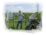
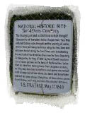
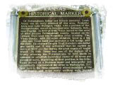
This marker is at the entrance to the "Indian Cemetary". These histroical markers are all over Kansas and tell the stories of struggling settlers as they came to, or passed through the state.
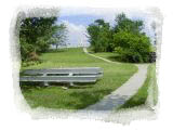
The cemetary can be seen at the top of the hill. There is a cave in the trees in the right side of the picture. The guest book in there tells a story of it's own. People from around the world have stopped here and viewed this site. The iron picnic table in the foreground was built using more of the iron from "Martin's" bridge. The area is kept up very well. Only the chain link fence unsettles me.
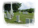
The tall, center, monument is that of Louis Vieux. The person that Louisville was named for. His wife and children are buried here also. The headstones in the cemetary have been re-mounted where needed. There are a number of very young children buried here as well. A reminder of the harsh times only a 100 years earlier.
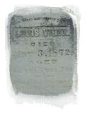
This is a close up shot of the marking on Louis's Monument.
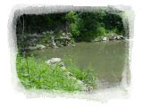
Just a few hundreds yards to the west of the Indian Cemetary is the Vermillion river. A trail along the east bank will take you to the cholera cemetary. This trail shaded by huge trees and walking it is a trip back in history.
A close up picture of the sign that is at the beginning of the trail leading to the cholera cemetary. I doubt that the bullet hole is planned vandelism, but rather a random target. Even this bullet hole tells the story of some Kansans.
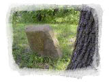
This is one of the weathered headtones of a cholera victim in the late 1800's.
Now you find me on the west bank of the Vermillion river; still only hundreds of yards away from the Indian cemetary. For a very long time it was the site of the worlds largest Elm tree.
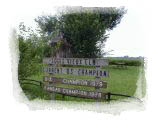
This sign tells the facts of the story of this great tree. It watched as the Vermillion river flowed by.for generations.
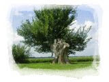
All that remains of the great elm is a branch on the South side of the trunk. The tree has nearly subcomed to poison and fire. It is hard to think that someone is famous for that. I think that the remaining branch would support a rope to well enough to bring justice to the persons responsible.
Wouldn't it be ironic...............
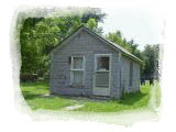
The post office building is still standing in Louisville. I hope this one room building outlasts me; and it looks like it will! I wonder how many times I walked through that door? How many birthday cards did I get from Grandma addressed only to Master Randy Linderman, Louisville, Ks. I remember a lot of them.
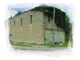
Guy Knoll's grocery store used to be in this rock building, just a few doors down the street from our house.
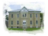
One of the most prominent buildings in Lousville. The school building. I went from 1st to 8th grade here. The same shoolyard toys are still being used by youngsters of Lousiville. The school itself has been closed for many years.
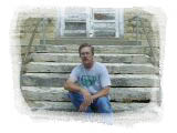
I may not look too thrilled in the picture. Maybe it is just a flashback! I never really wanted to go inside, I'd much rather be out playing.
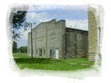
On the West side of the main school building is the Gynasium. We had one of the nicest places around for our basketball games and events. The kitchen was also in there, where my mother was school cook for a number of years.
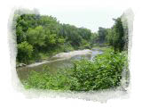
A limestone dam used to control the water going down Rock Creek. The town would flood nearly every spring because of the water back-up caused by this dam. We used to canoe the streets of this 200 person town in the spring. Sandbagging wells was commonplace during the annual floods. In the picture you can see that the center section of the dam is now gone... it finally broke during one of the floods some 20 years ago.
This is a picture aimmed a bit more downstream. The dam would be on your left. We often fished in the area below the dam. Channel cat fish and Carp seemed to live in these waters that go through town. The Creek went on to make a left turn and run under "Martin's" bridge. After that the water was used to power a grain mill built along the creek's bank.
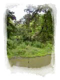
Upstream of the dam and directly behind Carley's house ( across the street from our house ) was and still is the swimming hole. The cable hanging there today is the same cable I used to swing on to drop into the creek. Four kids were there swimming the day I took these pictures. This area of the creek was used in the winter as well, for ice skating. We used to burn tires that we would save through the summer months. They made good fires in the middle of the night. I'm sure it is illegal now.
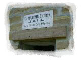
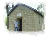
Louisville used to be the county seat until the town of Westmoreland stole the county records. When Lousiville was the county seat it had the county jail. The jail was a few doors down the street from our house, across the street from Knoll's grocery. The Jail house has now been moved to the city park in Wamego, Three miles to the South.
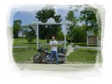
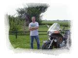
Here I am just getting out of jail! Actually, a lot of people think I should be locked up as I am taking all these pictures by myself using a tripod and timer. They just stare at me..........
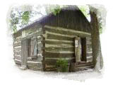
This log cabin is an orginal that has also been moved to the park in Wamego. Times have changed, I'm not sure who had / has the best deal.
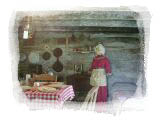
The inside of the cabin is done up in a fashion of the time.
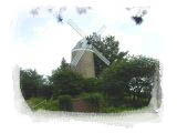
The windmill in the Wamego city park has long been the main attraction. It was there long before the Jail, cabin, and other buildings were moved to the park. The Jail and cabin are just to the left of the mill.
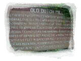
The sign in front of the mill explains the story of it. This sign is shown in the bottom of the upper picture.
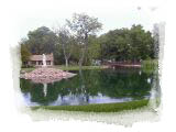
Looking to the West from the mill you see the pond in the park. It is a beautiful site and the atmosphere is outstanding. If you are under 16 you can fish in the pond for the sunfish that are still in there today. Wamego has always celebrated the 4th of July with parades and a big carnival.
One thing that is obvioulsy missing from this page is the house that I grew up in. It was and still is one of the nicest, biggest houses in Louisville. When I made my trip to take pictures for this page there was no one home at our old house. I felt I should not take pictures of it without permission from the family that lives there now. I would expect no less from others. This house is a story of its own. I will include it as time allows providing the current owners allow me to. Stay tuned, and I hope you enjoyed your trip to my hometown. I still love it.
Click on photos to enlarge
